Yakushima
屋久島
- Kagoshima (Kagoshima Airport / Kagoshima Port)
- ≈5–7 h from Tokyo
- Depends on route — see Access
- Late April-May (fresh green, before rainy season)
Quick facts
- ≈5–7 h from Tokyo
- flights roughly 40,000-60,000 yen one way total; jetfoil about 12,000-15,000 yen from Kagoshima
- Depends on route — see Access
- Late April-May (fresh green, before rainy season) · October-November (stable weather for hiking)
- Kagoshima (Kagoshima Airport / Kagoshima Port)
- Private cars are banned on the Arakawa forest road to the Jomon Sugi trailhead through 30 November 2026. Take the Arakawa Mountain Bus from the Yakusugi Museum: morning departures at 05:00, 05:20 (no service in June) and 05:40, plus an afternoon 14:00 run used mainly by hut overnighters. No reservations, ¥3,000 round trip including the ¥1,000 conservation donation, cash only. Buy tickets in advance at the tourist information offices near the ports and airport, and reconfirm the times when you buy.
- Visitors are asked not to enter Nagata Inakahama between 20:00 and 05:00 from 1 May to 30 September to protect loggerhead nesting and hatching; the request is voluntary for now, and a statutory entry restriction is under discussion. Official turtle-watching tours run only during the egg-laying season and ended for the year on 15 July. Planning ahead for next year: the programme runs 10 May to 15 July, with reception 20:00-20:30, a lecture until 21:30 and observation until 23:00, capped at 50 people a night, ¥2,000 adults and ¥500 for junior-high age and under (2026), advance reservation required.
- Since 1 April 2026 both Yakusugi Land and Shiratani Unsuikyo charge ¥800 per adult, or ¥600 each for groups of 20 or more. Bring cash; outside staffed hours (08:30-16:30) you pay into the honesty box.
Overview
Why it's inscribed
Yakushima was one of Japan's first two World Heritage sites, listed in December 1993 for its mountainous interior: about 10,747 hectares, roughly a fifth of the island. The case rests on the trees and the mountain that shapes them. Ordinary Japanese cedar lives around 500 years. On Yakushima's poor granite-derived soil the same species grows so slowly that its rings pack tight and its resin content climbs, and individual trees survive for millennia; only those past their thousandth birthday earn the name yakusugi.
The other half of the case is compression. Within roughly 2,000 vertical meters you climb from fig trees on a subtropical shore through evergreen broadleaf forest into the cedar belt, then bamboo grassland and high moor, and finally subalpine scrub near the summits. Mt. Miyanoura, at 1,936 meters the highest point in Kyushu, is the southernmost place in Japan where snow lies for months.
Rain drives all of it. The coast gets around 4,000 millimeters a year and the mountains as much as 10,000, several times the national average. That water is why some 1,900 plant species and subspecies grow here, why Japanese cedar reaches its southern limit on this island, why Gentiana yakushimensis exists nowhere else, and why the moss is like nothing else in the country.
What you'll actually see
Shiratani Unsuikyo
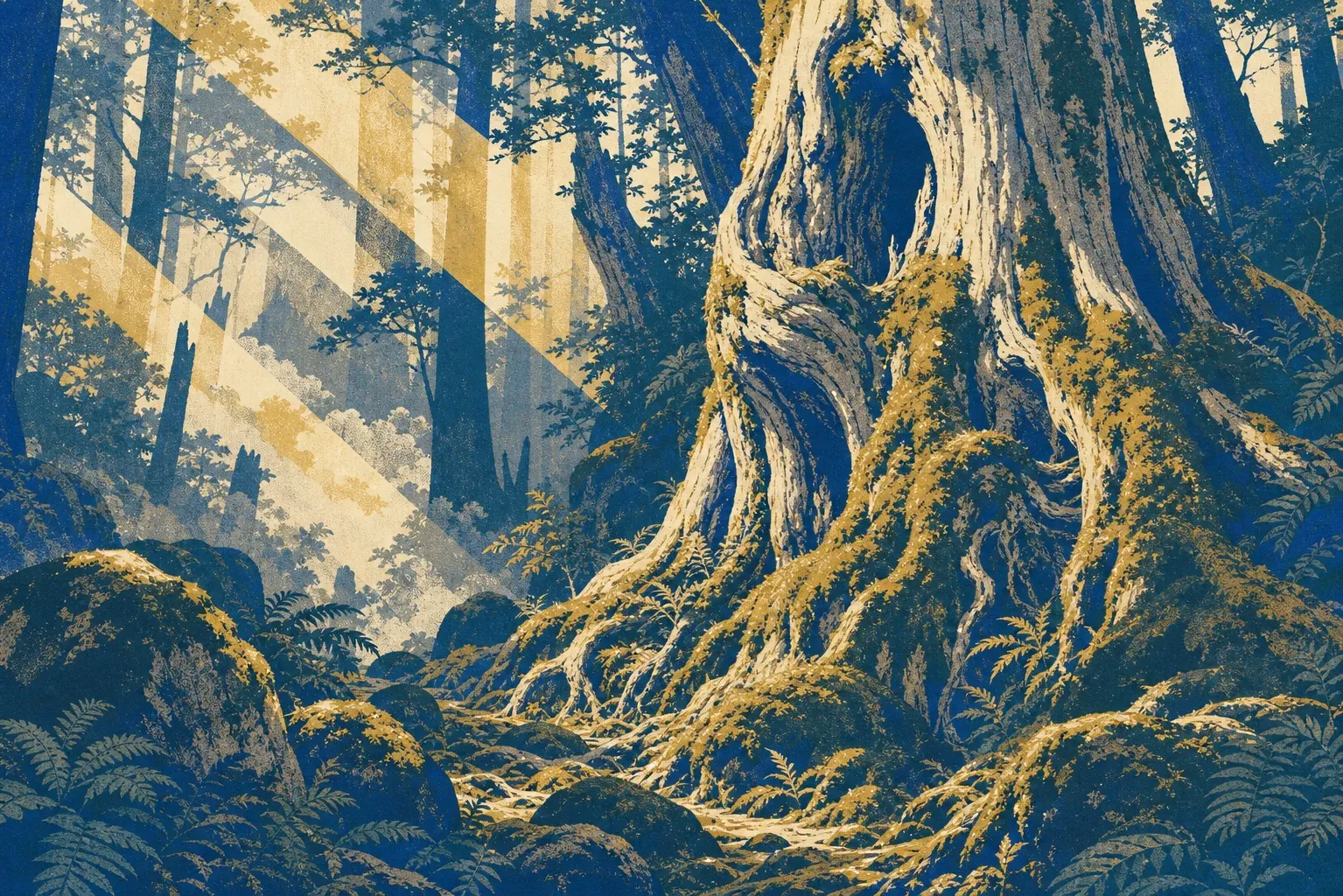
A moss-choked ravine 24 minutes by road above Miyanoura Port, and for most visitors the most beautiful place on the island. Three marked courses share one trailhead: Yayoi-sugi (2 km, one hour), Bugyo-sugi (4 km, three hours), and Taiko-iwa (5.6 km, four hours). The long course passes the Moss Forest, where a Studio Ghibli lead artist sketched scenes that became Princess Mononoke. Kugurisugi, the arched cedar you walk under, sits at 833 meters beyond the Satsuki suspension bridge and the Shiratani hut, roughly 70 minutes up from the 620-meter entrance and well over two hours round trip. With only an hour, walk the few minutes in to Shiratani-taenotaki falls and the Ikoi-no-Oiwa boulder instead. The paths mix Edo-period stone footways with modern boardwalk, and signage is in English throughout.
Yakusugi Land
Not a theme park, despite the name: a managed stretch of ancient forest on the road inland from Anbo, with looped boardwalk courses of varying lengths. The administration building is staffed 08:30 to 16:30; outside those hours the trails stay open and you pay into the honesty box. It is the lowest-effort way to stand under cedars that have been alive for a thousand years or more, and a short drive farther up the same road brings you to Kigen-sugi, a giant you can see from the roadside without walking at all. Since 1 April 2026 admission is a flat ¥800 per adult here and at Shiratani Unsuikyo alike, so the order you visit them in no longer affects the price.
Jomon Sugi and the Arakawa Trail
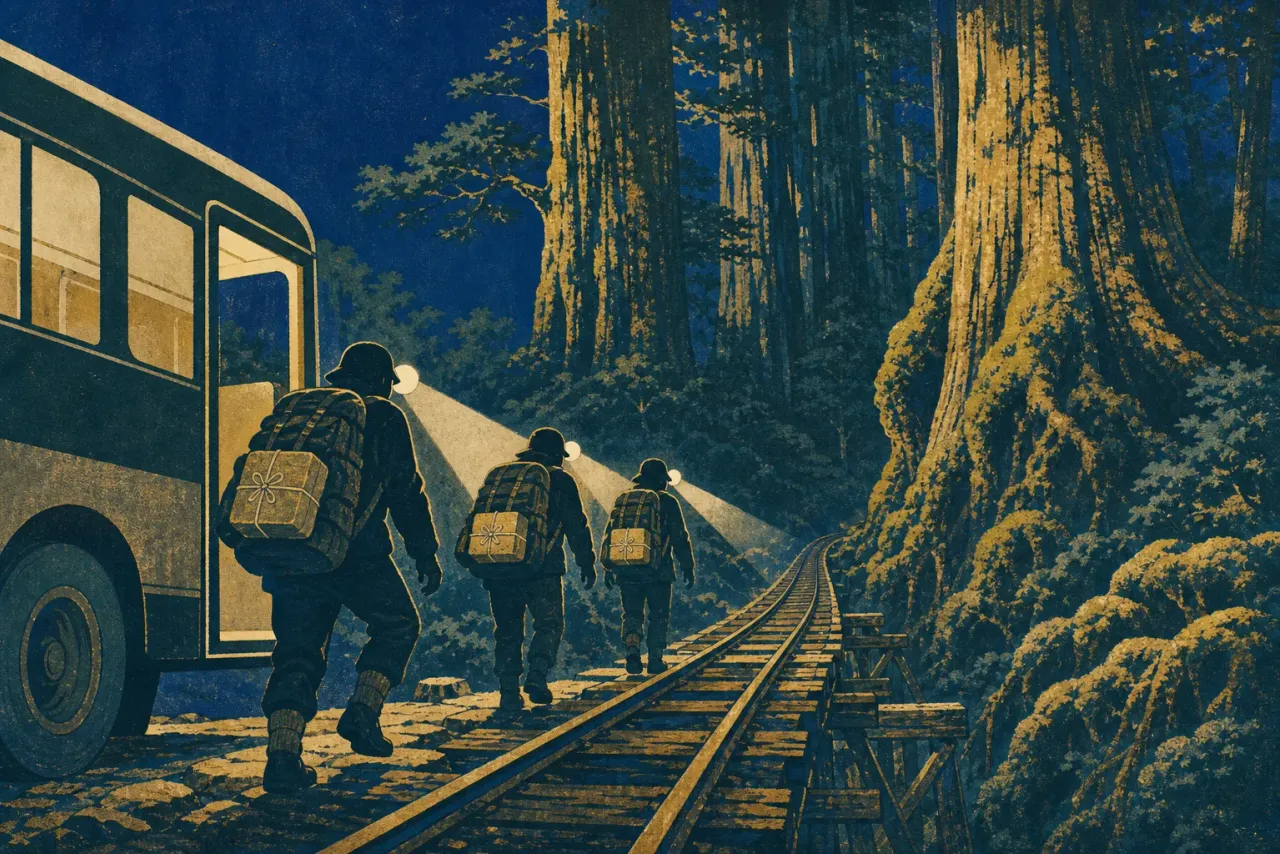
The island's most famous tree was found in 1966 at about 1,300 meters, and nobody agrees how old it is; estimates run from 2,170 to 7,200 years. Reaching it is a commitment: roughly 22 kilometers round trip, 10 to 12 hours, starting before dawn. The first 8 kilometers follow the old Anbo forest railway trackbed, nearly flat, about two and a half hours of walking between the rails before the trail turns uphill in earnest. Hikers splitting the route over two days sleep at Takatsuka Hut near the tree, which has no electricity and no running water.
Mt. Miyanoura
At 1,936 meters, the highest peak in all Kyushu and one of Japan's 100 Famous Mountains, usually climbed from the Yodogawa trailhead beyond Yakusugi Land. The summit averages about 11.5°C colder than the coast; in November you can leave a shoreline above 20°C and top out below 10°C, and in winter the high ridges hold snow for months. Subarctic ground cover within sight of a subtropical sea is the whole island's argument, made in one view.
The coastal ring
The road around the island earns a full day. Ohko-no-taki drops 88 meters and carries more water than any other fall here; Senpiro-no-taki pours 60 meters down one vast slab of granite. Along the Seibu-rindo forest road on the west coast, Yaku-shima macaques and Yaku-shika deer sit in the roadway itself; note that no bus serves this stretch. Nagata Inakahama is Japan's most important loggerhead nesting beach, and Hirauchi Kaichu Onsen offers rock pools in the surf, bathable only about two hours either side of low tide for ¥300 (2026) in an honesty box.
Yakusugi Museum and the World Heritage Center
The rain-day options, and they sit three minutes' walk apart in Anbo. The Yakusugi Museum (¥600 adults as of 2026, 09:00 to 17:00 with last entry 16:30, closed the first Tuesday of each month except May and August, and 29 December to 1 January) is the island's main interpretation center for the cedars. Next door, the Yakushima World Heritage Center, run by the Ministry of the Environment, is free (09:00 to 17:00, last entry 16:30, closed 29 December to 3 January) and lays out the elevation zones on one wall. Both are worth an hour when the trailhead roads close. On a clear day, skip them and spend that hour in the forest at Shiratani Unsuikyo instead.
Worth knowing
Islanders joke that it rains 35 days a month, and the joke is load-bearing. Bring real rain gear, never an umbrella, plus a full change of dry clothes. The best windows are mid-March to early June and early October to mid-December; July through September brings typhoons that cancel boats and flights, so build a buffer day into any plan. Three nights is the realistic minimum.
Carry cash for everything: park fees, conservation donations, onsen honesty boxes, buses.
Etiquette here is unusually specific. Buy a portable toilet before any long trek and drop the used bag in the trailhead collection boxes, never in a hut. Keep your boots off the moss; a single step does lasting damage. Fit rubber tips to trekking poles, file a trekking registration form before setting out, and leave the bear bell at home — there are no bears, and the silence is part of the point. Do not feed the macaques or deer, however close they come.
One opinion, firmly held: if the weather grants you a single good day, spend it at Shiratani Unsuikyo rather than forcing Jomon Sugi. The moss forest is the finer experience at a quarter of the effort.
Highlights
Jomon Sugi, a giant cedar estimated at 2,170-7,200 years old (round-trip day hike)
Shiratani Unsuikyo Ravine's mossy ancient cedar forest
Yakusugi Land forest trails among 1,000-year-old cedars
Ooko-no-taki, the island's tallest waterfall, and 60-m Senpiro-no-taki
Endemic wildlife: Yaku monkeys and Yaku deer
Hirauchi Kaichu seaside onsen and star-sand Sango-no-hama beach
Getting there from Tokyo
Fly from Haneda to Kagoshima Airport (just under 2 hours), then either a 40-minute JAC connecting flight to Yakushima Airport, or transfer to Kagoshima Port for the jetfoil to Miyanoura or Anbo (about 2.5 hours) or the cheaper car ferry to Miyanoura (about 4 hours). Note: the island is extremely rainy year-round, and boats/flights can be cancelled in bad weather.
Where to base & what to eat
Where to base
Miyanoura (north coast, main port)
The practical first-timer base, closest to arriving ferries, supermarkets, and Shiratani Unsuikyo, but it is the farthest town from the Yakusugi Museum where the 05:00 Jomon Sugi bus departs.
Anbo (east coast, second port)
The staging town for Jomon Sugi and Yakusugi Land with the island's densest restaurant cluster and best budget guesthouses, though it is workmanlike rather than scenic and a long drive from Shiratani.
Onoaida and the south coast
The onsen side of the island, with three ¥300 baths (2026) and the warmest, most subtropical coastline, but a rental car is close to mandatory and a Jomon Sugi morning means a very long pre-dawn drive.
Mugio hills (Sankara Hotel & Spa Yakushima)
The island's one true luxury property, with French-influenced dining, its own sea-turtle watching, and free transfers from Anbo port and the airport, but it is isolated, and a Jomon Sugi morning still means arranging a car or taxi for the pre-dawn run to the Arakawa bus.
What to eat
Tobiuo no karaage (whole fried flying fish)
Yakushima lands more flying fish than anywhere in Japan; the small fish are marinated in a house sauce, then deep-fried whole with the wings spread, and the benchmark teishoku version is at Shiosai, a five-minute walk from Miyanoura Port.
Saba, smoked and raw
Mackerel is a main local catch, occasionally served as raw sashimi that almost nowhere else in Japan can offer, and the island's smokehouses (the oldest over 200 years old) sell vacuum-packed smoked mackerel, the classic souvenir.
Yaku-shika venison at Wakadaisho, Miyanoura
An izakaya serving fish landed by the owners' own boats alongside raw local venison, Nagata tofu, and a Yakushima and Amami shochu list.
Tankan and ponkan citrus
Yakushima is Japan's top grower of both, with ponkan harvested December to January and tankan February to March, and the juice, jam, and cakes sold year-round.
Trekking bento from Shima Musubi or Hotto Motto
Unglamorous but essential: Shima Musubi, near the main hospital in Miyanoura, makes early-morning trekking bento, and Hotto Motto across the road opens at 07:00, so shop there the evening before a 05:00 Arakawa bus departure.
Official links
Fares, hours and closures change with little notice. These are the operators' and authorities' own pages — worth a look close to your travel dates.
Related stories
Twenty-Two Kilometers Before Breakfast: How to Actually Reach Jomon Sugi
No reservations, cash only, and a 5:40 a.m. cutoff on the morning buses: the complete logistics of Yakushima's most demanding day hike, from bento strategy to the two-day escape hatch at Takatsuka Hut.
Japan in Miniature: Reading Yakushima's Forest from the Shoreline to the Snowline
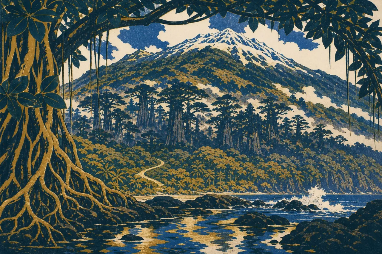
Yakushima's World Heritage listing is not about one famous cedar. It is about 2,000 vertical meters that compress subtropical shore into snow-holding summit, and you can read most of it without a twelve-hour hike.
Sources
- https://whc.unesco.org/en/list/662/
- https://www.japan.travel/en/world-heritage/yakushima-island/
- https://www.japan.travel/national-parks/parks/yakushima/how-to-get-there/
- https://www.env.go.jp/park/yakushima/ywhcc/index.htm
- https://y-rekumori.com/pdf/shiratani_pamphlet_en2026.pdf
- https://y-rekumori.com/pdf/yakusugi_land_pamphlet_en2026.pdf
- http://yakushima-tozan.com/bus/
- https://umigame-yakushima.com/nagatahama-kansatsukai/
- http://www.yakusugi-museum.com/