Two Days on the Nakahechi: Walking, Soaking, and Eating the Kumano Pilgrim Way
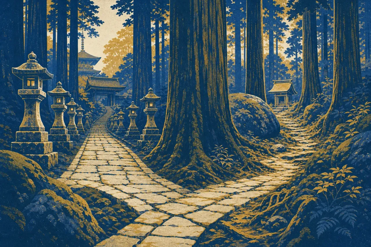
The trail out of Takijiri-oji goes up immediately, and it does not apologize. The Nakahechi has few switchbacks anywhere along its length, so the first hour is roots, rock steps, and a steady loss of breath. Pilgrims have been documented in these mountains for more than 1,200 years. Knowing that helps a little on the climb. Not much.
This is the Imperial Route, the best preserved of the Kumano Kodo trails inscribed with the Kii Mountains as World Heritage in 2004, and the roughly 38 kilometers from Takijiri-oji to the grand shrine at Hongu is its classic walk. Done the traditional way, it takes two days, with a night in the small village of Chikatsuyu. Read the split before you book it: Chikatsuyu sits about 13 kilometers in, which leaves some 25 kilometers for day two, and the tourism bureau's own estimate for the stretch from Tsugizakura-oji to Hongu alone is 8 to 11 hours. Walkers who want the trail to be a pleasure rather than a race add a third day at Tsugizakura or Hongu-side lodgings. Unlike Spain's Camino, you cannot wing this one.
The logistics that make or break the walk
Sleep in Kii-Tanabe the night before. The JR Kuroshio limited express reaches it from Shin-Osaka in about two hours, the town has business hotels and a compact izakaya quarter called Ajikoji, and morning buses head into the mountains past the trailhead. Book every night on the trail before you come, ideally through kumano-travel.com, the region's community reservation system. Showing up unannounced is not done here; a lodge that doesn't know you're coming has not bought food for your dinner. And bring cash. Cards remain unreliable in the mountains as of 2026.
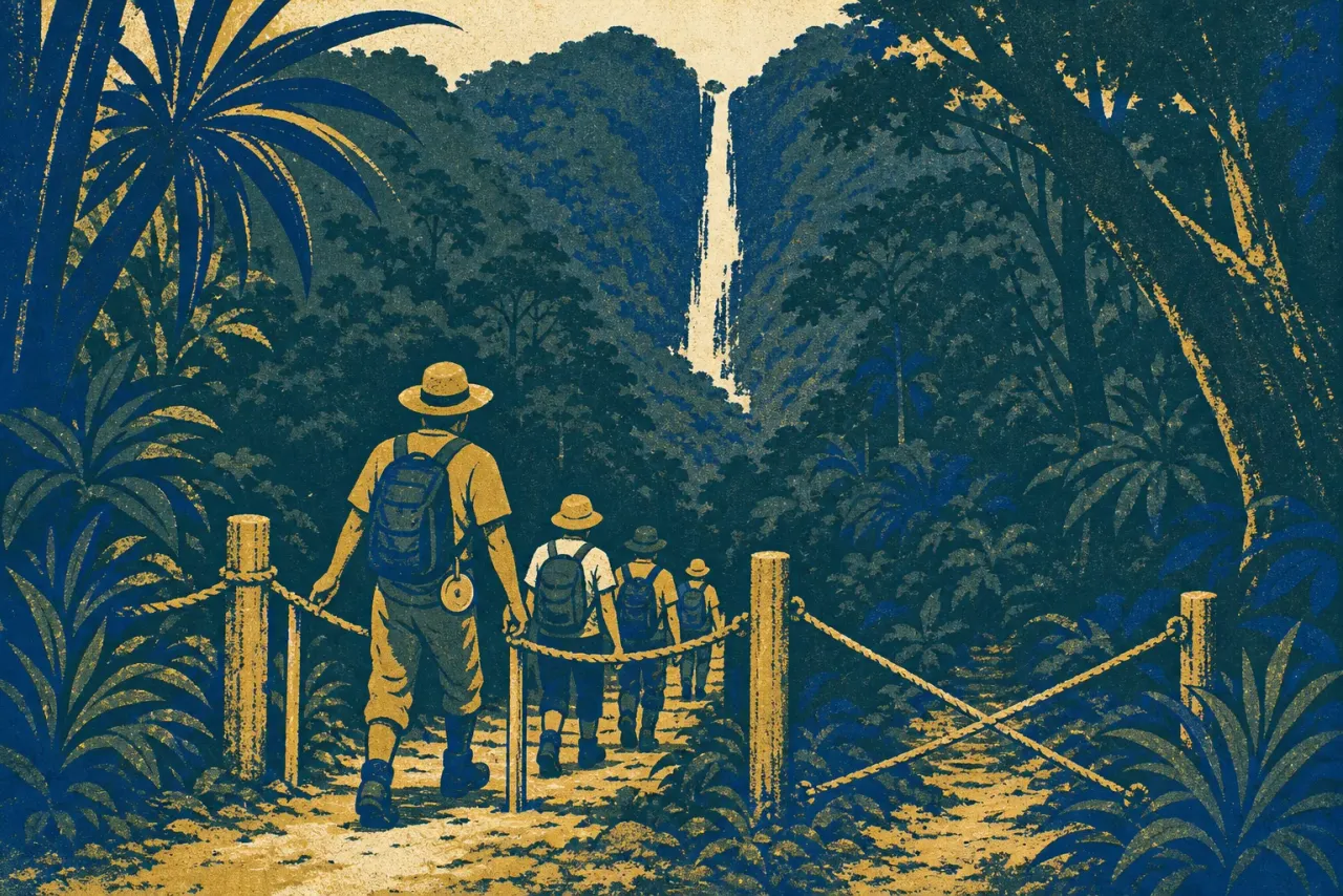
Then use the luggage shuttle. A daily service moves bags between lodgings along the Nakahechi, which means you walk with only a daypack: rain gear, water, snacks, cash. First-timers who skip it and haul full packs over the passes are easy to spot by early afternoon.
Check trail conditions at tb-kumano.jp before you commit, not after. The Kii Peninsula is one of the wettest regions in Japan, and the network changes. The good news from late 2025: a detour near Iwagami-oji, in place since typhoon damage in 2011, finally reverted to the original trail on October 1, 2025, so the walk now runs the way it did for centuries. The less good news: landslides in 2026 closed the Shiomi-toge section in June, and the road between Oto Onsen and Totsukawa Onsen remained impassable as of midsummer with no detour. What a given storm closes changes season to season, so read the current notices before you lace up. This is living terrain.
Aim to reach Chikatsuyu by mid-afternoon. In winter the mountains are dark by 4:30 p.m., and even in June you want margin, because the top cause of injury on the Kumano Kodo is not exhaustion or wildlife but a slip on wet stone, and stone here is usually wet. Dinner at a family-run lodge, futon, and then a genuinely early start, because day two is the long one: leave Chikatsuyu at first light and treat a mid-afternoon arrival at Hongu as the good case, not the plan. Some houses serve chagayu, the local tea porridge, at breakfast. Eat it. A warm start earns its keep.
Hot water at the end of the trail
Day two delivers you to Kumano Hongu Taisha, where every route of the Kumano Kodo converges. The shrine has stood on its current hillside only since 1889, when a flood destroyed the original complex on Oyunohara, a sandbank in the river below. Walk down to that sandbank. Since 2000 it has held the largest torii gate in the world, 33.9 meters of steel, and standing under it after 38 kilometers on foot lands differently than any photograph suggests.
Then comes the part pilgrims have always treated as essential rather than optional: the bath. Yunomine Onsen, a hamlet folded into the hills near Hongu, claims 1,800 years of use, and its Tsuboyu bath is the only hot spring on the entire World Heritage list that you can actually get into. It is a tiny rock pool in a wooden hut over the creek, rented in private 30-minute slots for one or two people, strictly first come, first served. You buy a ticket, wait your turn, and lower yourself in. The water runs hot, and after two days of climbing it is close to medicinal.
Kawayu Onsen, one valley over, takes the opposite approach: hot water seeps up through the gravel bed of the river itself, and you dig your own bath where the hot seep meets the cold current. In winter the village carves a huge communal pool from the riverbed, the Sennin-buro. Either hamlet makes a fine final night, though rooms are scarce and are the bottleneck of every Kumano itinerary. Expect anything from hostel beds around $55 to ryokan half-board near $275 as of 2026, and expect spring and fall dates to fill months ahead.
What the trail feeds you
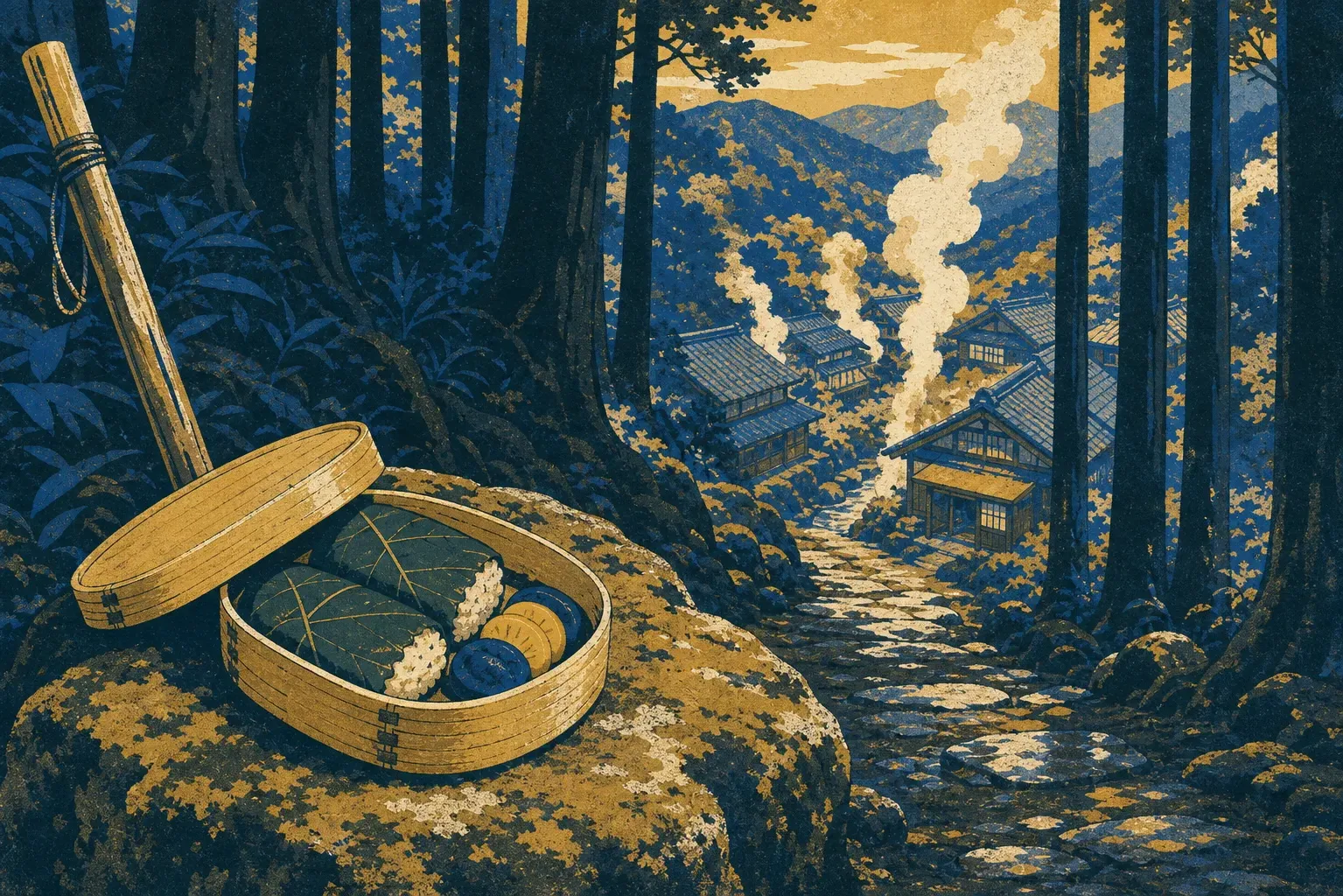
Mehari-zushi is trail food that never pretended to be anything else: a fist-sized rice ball wrapped in pickled takana mustard leaf, salty and portable, made to be eaten with dirty hands on a mountain pass. Lodges will pack them as a walking lunch. The style's standard-bearer is Sohonke Mehariya in Shingu, in business since 1962, worth a stop if your onward route passes through town. The other Kumano classic is sanma-zushi, Pacific saury cured in salt and vinegar, lighter than the mackerel sushi found elsewhere in Japan. Winter adds shishi-nabe, wild boar hot pot. And everything comes with ume, because Wakayama, and the Tanabe area in particular, grows roughly half of Japan's crop; the umeboshi in your rice ball and the umeshu after dinner are as local as the spring water.
From Hongu, a bus carries you to the third act. The Daimon-zaka staircase climbs through old cedars to Kumano Nachi Taisha, where the three-story pagoda of Seiganto-ji, the Buddhist temple next door, frames Nachi Falls, a single 133-meter drop that has itself been worshipped as a deity. The pagoda costs 500 yen as of 2026 and holds the exact composition every photographer wants, vermilion tiers against the white line of the falls. Give the whole complex two to three hours, and take the staircase slowly. The cobbles are, of course, wet.
Finish in Nachikatsuura, the port town below and one of Japan's largest tuna harbors. Onsen hotels face the sea, maguro is on every menu, and on weekends the Nigiwai Market by the fishing harbor runs tuna-fileting shows where a whole fish is broken down in front of you and you can eat the results on the spot. After two days of pickled greens and rice balls, a slab of just-cut tuna is the pilgrim's reward the old court nobles never got. Time your walk so you come off the mountain on a Saturday.