Stone circles and a solstice line: driving the Jomon sites beyond Aomori

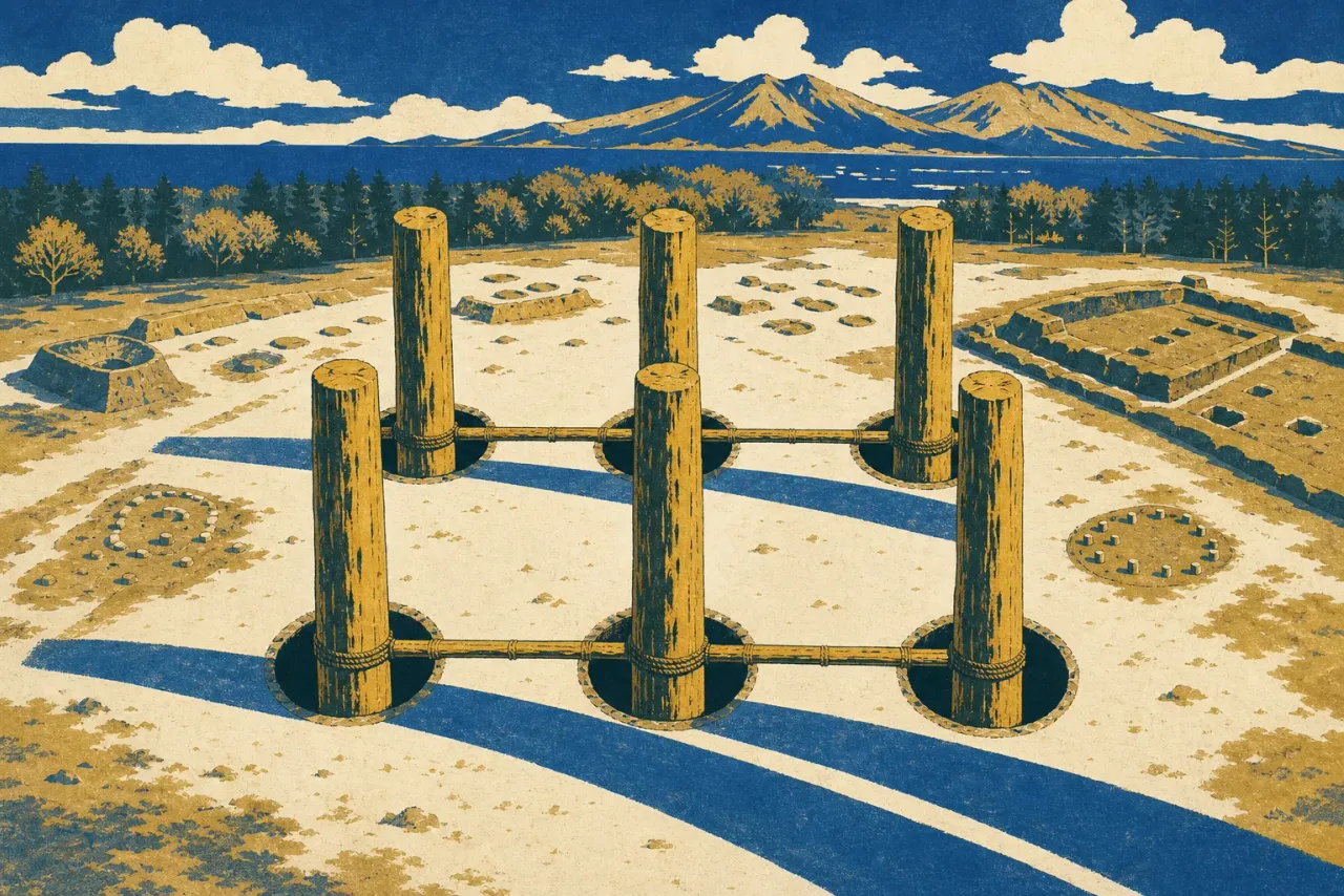
Sannai Maruyama gets the tour buses and the reconstructed six-pillar tower. It is also one-seventeenth of the World Heritage property. The 2021 listing, "Jomon Prehistoric Sites in Northern Japan," covers 17 archaeological sites spread across Hokkaido, Aomori, Akita, and Iwate: 141.9 hectares of protected ground inside a 984.8-hectare buffer zone. The famous village in Aomori City is the gateway. The argument that persuaded UNESCO lives mostly elsewhere, in stone circles and burial earthworks that close for winter, sit a taxi ride from the nearest station, and see a fraction of the crowds.
That argument deserves a sentence, because it changes what you are looking at. The people who built these monuments never farmed grain. No rice paddies, no livestock, no towns in the usual sense. They stayed put anyway, for thousands of years, and in the late phase of the period, roughly 2000 to 400 BCE, they spent their surplus labor on ritual architecture: rings of river stones laid out on open ground, and communal graves dug at a scale you would normally associate with early states. The World Heritage Committee accepted the property in July 2021 under criteria (iii) and (v) precisely because it breaks the textbook link between agriculture and settled, complex society. In other words, the stone circles are not a side trip from Sannai Maruyama. They are the intellectual payload of the whole listing.
They are also, with one exception, car territory. Here is the route.
The solstice line at Oyu
Oyu Stone Circles, outside Kazuno in northern Akita, is the anchor of any circuit. Two rings of river stones sit in an open field: Manza, the larger, is 52 meters across; Nonakado is 44. Neither is a Stonehenge of standing monoliths. The stones are low and unassuming, and the rings once sat inside concentric zones of post-built structures, storage pits, and graves. The detail that stays with you is directional. Draw a line between the centers of the two circles and it points at the spot where the sun sets on the summer solstice. Somebody worked that alignment out roughly four thousand years ago, without ever planting a field.
Getting there takes intent. The site is about 25 minutes by car or taxi from JR Kazuno-Hanawa Station. The museum charges 320 yen for adults and 110 yen for high school students and under, university students paying the adult rate (as of 2026), and it runs 09:00 to 18:00 from April through October; from November through March it closes at 16:00 and shuts on Mondays. Volunteer guides exist but need ten days' advance notice, so this is not a decision to make at breakfast. If you are driving, the Kazuno–Odate corridor is kiritanpo country: pounded rice grilled on cedar skewers, then simmered in a hot pot with Hinai-jidori chicken. Have it for dinner and the ancient attachment to this landscape starts to seem entirely reasonable.
Isedotai, five minutes from a train platform
One component in the entire serial property can be reached on foot from a station, and it happens to be a remarkable one. Isedotai, in Kitaakita, has four stone circles, each over 30 meters across, the largest 45. Nowhere else in Japan have so many circles been found so close together. The walk from Jomon-Ogata Station takes five minutes.
The museum is free and keeps honest hours, 09:00 to 17:00, closed Mondays. The catch is the calendar: Isedotai shuts completely for winter, from November until late April. Free volunteer tours run in Japanese only and want 14 days' notice. Go between May and October, pair it with Oyu on the same day, and you have both Akita components done with one rental car and one train.
Three more stops, ending at an airport
Komakino sits on a plateau above the Aomori Plain, about 35 minutes by car from either Aomori or Shin-Aomori Station. Three concentric rings of stones, 2.5, 29, and 35 meters in diameter; excavations here also turned up more than 400 triangular ritual stone plates. The setting does half the interpretive work: a ritual stage placed deliberately above the plain where people actually lived. Two warnings apply. The site itself is closed from November 16 through April 30, and the bus option means a roughly 25-minute ride to the Nozawa stop followed by a 30-minute walk. Drive. The small preservation museum at the base is free.
Goshono, in Ichinohe, Iwate, is the southern outlier and the easiest to bolt onto a Shinkansen itinerary, because Ninohe is a Hayabusa stop and the site is 15 minutes from there by car. You enter across the Kikiki suspension bridge, 120 meters long, which does more to reset your sense of arrival than any ticket gate could. This one is a settlement rather than a circle — excavated burnt dwellings proved the houses here were roofed with earth, not thatch — and the museum charges 300 yen (2026) and closes Mondays. Free guides operate on weekends and holidays from May through October, 09:30 to 15:30.
Kiusu Earthwork Burial Circles, finally, is the reason to route your flight through New Chitose. The site is 15 minutes by car from Chitose Station: nine ring-shaped embankments raised around 1200 BCE, communal graves rather than stone rings. The largest measures 83 meters across and 4.7 meters deep, and building it meant moving roughly 3,000 cubic meters of earth by hand. Stand on the rim and do the arithmetic. Then note the schedule quirk, because it is the strangest in the property: the Chitose City Buried Cultural Properties Center, the free interpretation facility, closes on weekends (except the second Sunday of the month) and on national holidays. Most museums in this property close Mondays; Kiusu's center closes exactly when most travelers show up. The earthworks themselves stay visible even when the center is shut; the center otherwise runs 09:00 to 17:00.
A workable version of all this: ride the Hayabusa from Tokyo to Ninohe for Goshono, drive west to Oyu and sleep in the small hot-spring town of the same name (few beds, little English, book ahead), walk Isedotai the next morning, drop the car in Aomori after Komakino, then continue north by rail (budget the better part of a day for the crossing to Hokkaido) and finish at Kiusu before flying home from New Chitose. Five sites, four prefectures, nothing seen through a bus window. Check the calendar twice, though. Between mid-November and late April, most of this route simply does not exist. And if you have any say in the timing, make it the week of June 20, and be standing at Oyu as the sun drops along the line between the two circles, right where its builders said it would.