Follow the silver to the sea: the ports, roads and hot springs most visitors never reach
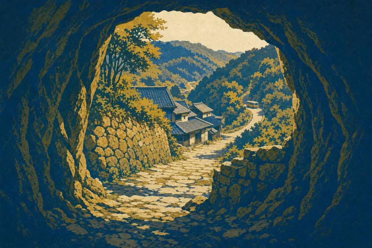
The standard Iwami Ginzan visit ends around three in the afternoon. You have walked through Ryūgenji Mabu (500 yen as of 2026), run your eyes along chisel marks left by miners working a tunnel documented in 1715, taken the forty-minute forest path back down into Ōmori, and caught the bus out. World Heritage: done.
Except you have seen less than half of it. When UNESCO inscribed "Iwami Ginzan Silver Mine and its Cultural Landscape" in 2007, it listed fourteen components, and five of them are nowhere near the mine: two stone transport roads, the Tomogaura-dō and the Yunotsu–Okidomari-dō, and the three ports they led to, Tomogaura, Okidomari and Yunotsu. That is not padding. The case for inscription was never "old tunnel." It was a complete system for moving silver from a forested mountain in Shimane into the holds of ships bound for the rest of Asia, and the seaward half of that system is quieter, stranger and far easier to have to yourself than anything in the valley. It also ends in a hot spring. If you have ever stood at a famous site wondering whether a second day would just be more of the same, Iwami Ginzan has an unusually good answer: the second day is different in kind, not degree.
Why the silver had to move
Some context makes the walk mean something. In the early 1600s Japan produced about a third of all the silver in the world, and a striking share of it came out of this one valley, circulating across East Asia as "Soma silver" and underwriting trade with Ming China, Portugal and the Netherlands. None of that would have happened without a refining technique called haifuki-hō, cupellation, brought over from Korea in 1533, which made Iwami's ore worth digging in the first place. You can stand on its archaeology at Miyanomae, an inscribed component right in Ōmori where the excavated remains of silver-refining works have been laid open. Most visitors walk past it. Don't; it is the hinge of the whole story, the point where rock became money.
Before leaving the valley, climb to Rakan-ji. Across an arched stone bridge, three shallow caves are cut into the rock: a stone Shaka triad in the middle one, and two hundred fifty arhats in each of the caves flanking it, five hundred in all, carved over twenty-five years in the mid-1700s to memorialize the miners who died producing all that export tonnage. The tradition is specific: you search the carved faces until you find someone you have lost. Every face is different. Some laugh. It is the human ledger behind the trade statistics, and the right frame of mind in which to follow the silver downhill.
Twelve kilometers to a fortified inlet
A 12 km trail links the mine to Okidomari port and can be walked end to end. This is the single best way to physically understand what UNESCO saw here: not a site but a route, ore to anchor. The refined silver moved along the Yunotsu–Okidomari-dō, the later and busier of the two inscribed roads; the older Tomogaura-dō carried the earliest shipments over the mountains to the tiny cove at Tomogaura. Above these routes sit the ruins of three mountain fortresses, Yataki-jō, Yahazu-jō and Iwami-jō, built to guard the cargo. They are castle sites rather than castles, stone footprints on wooded summits, so bring imagination rather than expectations.
Two honest warnings. First, a section of the historic route through the mine area, between Gorō-bashi and the Sakane-guchi checkpoint site, is closed for rockfall and landslide risk with no reopening date announced as of mid-2026, so confirm current conditions at the World Heritage Center (adults 400 yen as of 2026, and note its paid exhibition rooms close from October 2026 through March 2027 for renovation) before you commit to a full traverse. Second, mamushi, Japan's native pit viper, is active on these hills from spring through autumn. Stay on the path and out of the grass, and the risk is small.
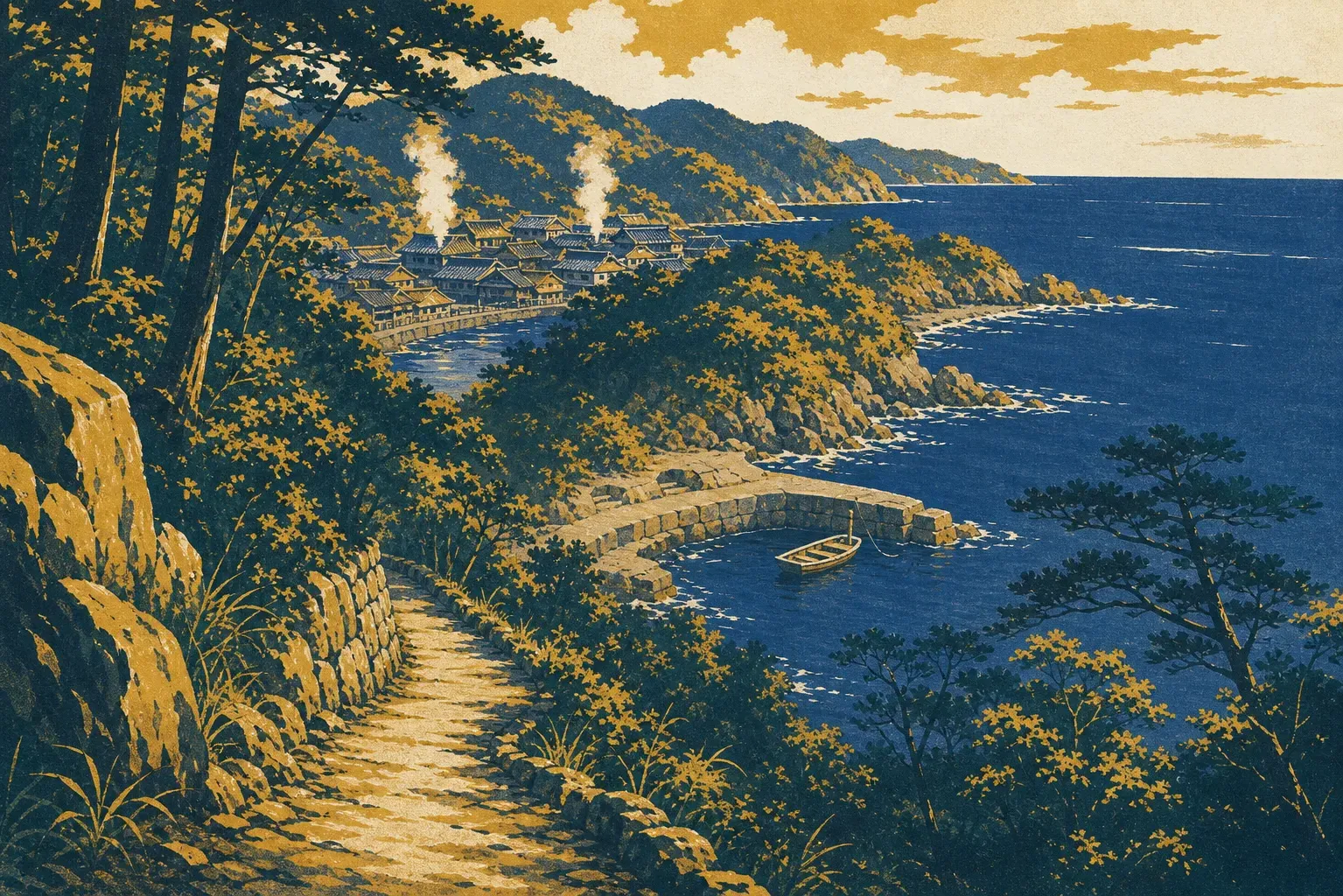
The reward at the far end is Okidomari, and it earns the walk. The port is a narrow, deep-cut inlet, more fjord than harbor, chosen precisely because it could be defended. Look down at the waterline and you will find the hanaguri-iwa: mooring points cut directly into the living rock, holes bored through stone outcrops to take the lines of silver ships. No fence, no ticket booth, usually no other people. Just the evidence, at your feet, that this quiet notch in the coast was once one of the more consequential pieces of water in the world economy.
Yunotsu, where the system ends in hot water
What waits at the road's end is the reason to stay overnight rather than day-trip. Yunotsu is the only hot-spring town in Japan inscribed as World Heritage, a port and onsen settlement with roughly 1,300 years of bathing tradition behind it and mineral water that still flows kake-nagashi, straight from the source, undiluted and unrecirculated. The single wooden street survives largely intact from the Showa era and earlier, and because the town itself is an inscribed component, sleeping here is sightseeing. Two public bathhouses anchor it, Yakushiyu and Motoyu, and traditional inns such as Nogawaya Ryokan put you a few minutes' shuffle from both. Be clear about what you are signing up for: no nightlife, few restaurants beyond your inn's dinner, streets that empty early. That is the product, not a defect.
It is also where you should eat the local end of the supply chain. Ōda, the city that contains all of this, lands close to half of Shimane's conger eel, and takes a contrarian pride in size: where Tokyo's edomae tradition prizes conger around 30 cm, Ōda celebrates fish of 50 cm and up, fattier and firmer. Michi-no-Eki Road Ginzan sells anago sushi if you are passing through by car; Kaneko Ryokan near Ōdashi Station serves a full anago kaiseki; Umisaka Sasaki does set meals built around the big fish. Summer is the classic season, though local fishermen will argue for winter conger, and fisheries data puts peak fat from summer into autumn. Order it whenever you are there.
One logistical truth governs the whole second day: buses between Ōmori and Yunotsu are sparse. The towns are only 20 to 30 minutes apart by road, but the timetable, not your mood, decides your schedule, so photograph it in the morning and treat the last connection as immovable. Better still, remove the problem. Walk the trail down, check into Yunotsu, and end the day at Yakushiyu with the day-trippers long gone. The water here was rising out of the ground for centuries before anyone found silver in the mountain behind it, and it will keep rising long after the last bus has left. Book the inn, and stop caring about the bus at all.